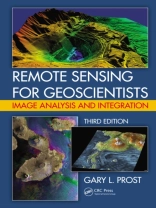
This third edition of the bestselling Remote Sensing for Geologists: A Guide to Image Interpretation is now titled Remote Sensing for Geoscientists: Image Analysis and Integration. The title change reflects that this edition applies to a broad spectrum of geosciences, not just geology; stresses that remote sensing has become more than photointerpre
Koop dit e-boek en ontvang er nog 1 GRATIS!
Formaat PDF ● Pagina’s 702 ● ISBN 9781466561755 ● Uitgeverij CRC Press ● Gepubliceerd 2013 ● Downloadbare 6 keer ● Valuta EUR ● ID 2831122 ● Kopieerbeveiliging Adobe DRM
Vereist een DRM-compatibele e-boeklezer
